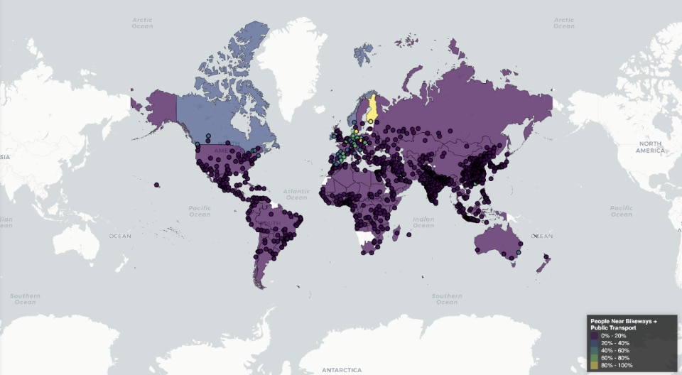
The Institute for Transportation and Development Policy recently released the first annual Atlas of Sustainable Urban Transport, a global interactive map that measures cities’ progress in car-free transport options, from frequent trains and buses to access to bicycle lanes.
The tool analyses nine sustainable mobility metrics in more than 1,000 metropolitan areas around the world. These measures include the percentage of residents safe from highways, as well as proximity to transport services such as protected bicycle lanes, car-free locations, frequent transport and rapid transit.
The interactive map, which according to the ITDP is the first of its kind, allows users to compare regions and monitor progress or disparities within individual metropolitan areas, sometimes down to neighbourhood level. In this way, it can be used as a goal-setting tool, idea generator and accountability indicator for politicians, planners, citizens and other stakeholders.

Wroclaw, Poland’s third largest urban centre by population, reportedly boasts one of the most accessible transport systems in the world, despite the lack of a metro system. The city relies on an extensive network of trams and buses that criss-cross the city, placing it at the top of a new ranking on transport sustainability and inclusiveness.
Wroclaw would be ranked second after Prague and ahead of urban areas such as the New York region, Paris and Warsaw when it comes to residents' proximity to frequent means of transport.
The atlas’ focus on proximity, rather than system size or transit mode, provides insights into residents' transport choices. Tel Aviv and Bogota rank right behind Wroclaw, with 86% and 85% of residents within 500 metres of a bus or train passing every 10 minutes or sooner at peak hours.
Opening image: Wroclaw, Poland. Photo Anastasia Saldatava via Unsplash


